The Challenge
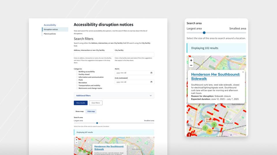
The City identified the need to inform citizens and visitors of impactful accessibility disruptions. Previously, the City managed disruption content manually, segmented by organizational department methods and strategies. The City was seeking a solution that aligned with its commitment to improve the awareness, availability and presentation consistency of disruption notices that affected the accessibility of City services in a centralized system.
As part of this initiative, the City sought to limit the amount of manual content management, by leveraging application integration with its available data service for issues relating to transportation and mobility.
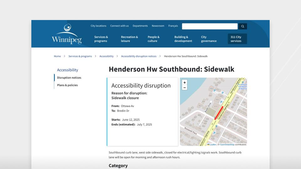
The City flagged several scenarios that added to the complexity and flexibility required of the eventual solution. For example, an accessibility disruption could impact multiple facilities and/or surrounding amenities. These locations might share a sidewalk or parking lot and, therefore, the tool must present the relevant disruption information across affected locations. Additionally, mapping disruptions required precision tools to place exact location information beyond a street address. For example, a specific wheelchair ramp at a facility was under repair, the mapping system must accommodate the precise marking of the ramp's location at the facility. It was hoped that providing awareness of precise locations of accessibility disruptions and posting that information to the affected facility web pages would optimize the likelihood that a user would plan a facility visit accordingly.